
Before students left for spring break, there was a feeling of warmth in the air. In fact, it hit 80 degrees in Philadelphia over break, smashing record high temperatures.
Well, I hate to break it to you, but it is officially still the winter season and Mother Nature may be prepared to prove that to us come later this weekend. Over the last few days, I’ve been taking a look at one specific storm system that is expected to come out of the South and ride up the East Coast like a classic Nor’easter. Up until today, however, I didn’t take this threat as seriously as I do now because it seemed that all of the factors in play would not necessarily come together based on the current weather pattern we’re in.
But as time went on, the computer models started suggesting a more potent and impactful storm system. Now it seems we could be dealing with a significant snow storm come Sunday.
The good news is that this looks to be winter’s last gasp, so after this storm moves through I can’t see much in the way of spring weather.
Let’s get to the details. The storm will impact the area from Sunday morning into the early morning hours on Monday with possible travel delays. There is enough cold air in place to sustain snow …but where, exactly? That will be determined by the track that the storm itself takes. If it comes too close to the coastline, then we could be looking at a wintry mix situation. If it stays slightly further away, we could be thumped with heavy snow. I estimate the likelihood of us receiving heavy snow over a wintry mix is about 65/35.
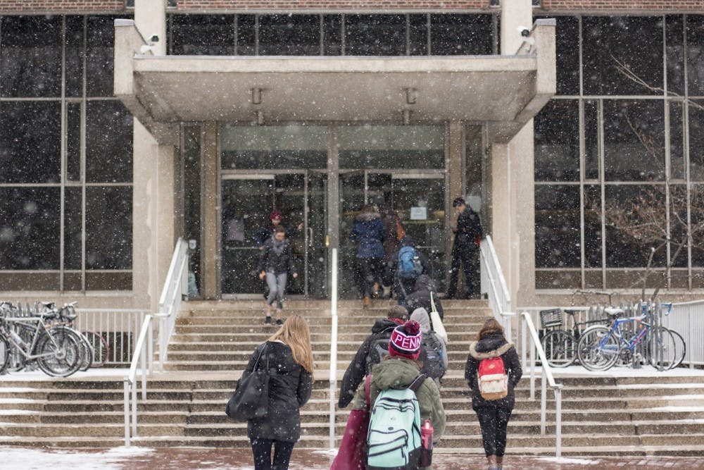
Regardless, the snow that falls will be wet and heavy, which could lead to power lines and trees being weighed down — campus could be dealing with debris if enough snow falls.
Update 3/19/16 at 6:14 p.m.: There has been so much uncertainty between the models that making a confident forecast would be near impossible. However, I can now say I believe as though this system will have very little impact on the region as a whole. The models over the last 36 hours have gone from potentially significant storm to nothing more than an inch at best. Combine that with the sun angle, light precipitation, and above freezing temperatures for most of the day and it's not exactly a recipe for big snows.
So, in the end, expect snow showers to move in and remain on and off through the evening with only about a coating to 2” on grassy surfaces. We’re more likely to see no accumulation than some.


