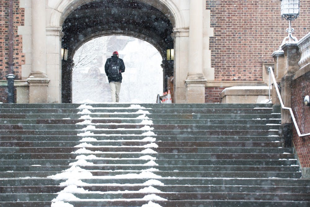
Meteorologists are expecting the fourth Nor'easter this month to hit this coming Tuesday — the first day of spring — and to last throughout day. There will be another stronger wave of snow on Wednesday morning which will slow down only on Wednesday evening.
The National Weather Service has put the region under another winter storm watch as Philadelphia is said to be hit by yet another snowstorm on Tuesday morning.
Subject to change, parts of the city are expected to experience between 8 and 10 inches of snow. The storm is expected to gather momentum as each day progresses, and Philadelphia residents are recommended to plan for travel inconveniences.
"DPS is closely monitoring the weather forecast and sharing information with Executive Vice President Carnaroli and Provost Pritchett so they can make the final decision," Division of Public Safety Director of Operations and External Affairs Kathleen Shields Anderson wrote in an emailed statement to The Daily Pennsylvanian.
Some meteorologists are optimistic given increased daylight hours, that the sun will be able to prevent snow accumulation from reaching the worst case scenario of 10 inches. Yet, as with storms in the past, heavy rain and strong coastal winds will accompany the snow through the two days.
The month of March in Philadelphia has consistently presented lower temperatures than February. Chief Meteorologist at WBZ anticipated that these winter storms will extend through part of April.
Earlier in the semester, winter storms served as barriers to traveling for many students. Right before spring break, a blizzard forced many students to delay their travel plans.
RELATED:
Penn students forced to change travel plans after intense East Coast storm
Penn suspends normal operations Friday following the "bomb cyclone" snowstorm
Immediately before the start of the semester, the nor'easter required some students to postpone travel arrangements back to school. The January nor'easter also contributed to pipe damage throughout the city and on campus.
