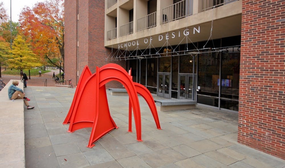
Not every Penn course offers students a chance to curb the horrific effects of flooding and natural disasters. Then there's the School of Design's "Land Use and Environmental Modeling" course.
Taught by Ken Steif, the director of Penn's master's program in urban spatial analytics, or MUSA, this innovative course utilizes open data to help predict and prevent flooding and other natural disasters, according to Philadelphia's Office of Open Data and Digital Transformation.
The predictive models generated from this class have real-world impact.
In 2013, a flood forced 100,000 people out of their homes and caused five fatalities in Calgary, Alberta. The flood was also responsible for $1.7 billion in insured property damage.
With access to open data, Gavin Taves, Madeline Helmer and Simon Kassel, all MUSA students, were able to accurately predict 72.9 percent of the flooding in the Calgary area. These models have helped influence infrastructure plans to help lessen future flood risks.
In 2011, Philadelphia’s government formally committed to open data by an executive order. Many cities have followed, taking on a similar goal.
Before open data became ubiquitous, city planners often signed agreements that barred the use of open data in classrooms.
RELATED:
Meet the PennDesign critic who snagged a MacArthur 'Genius Grant'
PennDesign symposium discusses 'pressure points' of urban housing
“When I used to teach this class, I used to simulate data and make up the data just so I could teach the approach,” Steif said. “But now, when the data’s open, you actually have this beautiful resource that you can use directly in the classroom.”
And, unlike many other class projects, these initiatives can actually save lives.


