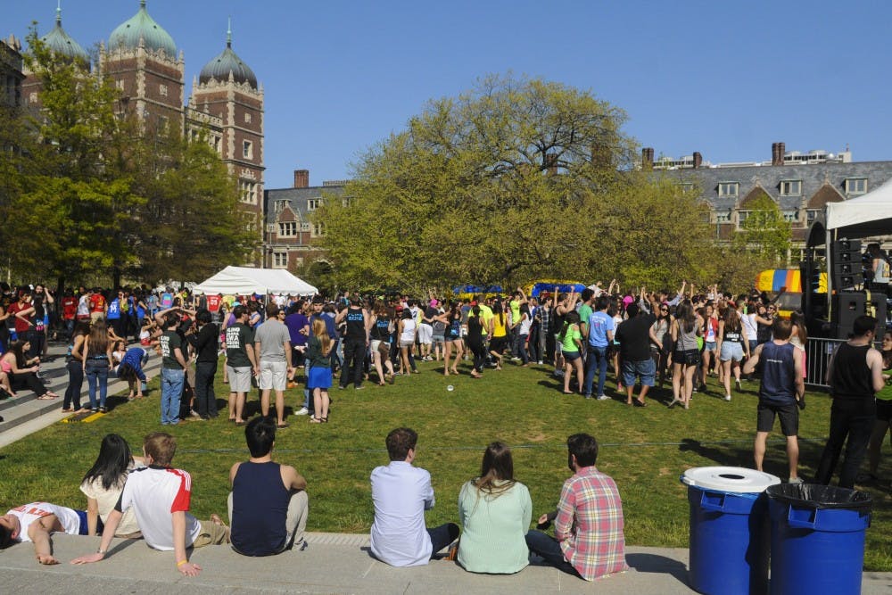

One of the biggest weekends at Penn is in just a matter of days. But, it could either be made or broken by what happens a few thousand feet above our heads.
Up until recently, temperatures have fluctuated massively from day to day with snow falling over the weekend to shorts weather just a few days before. On top of that, it seems as though we’ve seen more in the way of rain rather than sunshine. However, yesterday’s dreary weather should be the last we see of any rain for at least the next week or so.
Think of yesterday’s rainfall as a pattern change — instead of sticking in a wet and cool pattern, it now looks like we’re flipping into a warmer and drier one with abundant sunshine and above average temperatures. For this, you can think a building “ridge” over the eastern United States, which ushers in warmer air from the southern sections of the country. Recently, a “trough” had settled over our area, doing the complete opposite and leaving us with snow rather than sun.
With above average temperatures expected, what exactly is “above average” for this time of year? Well, the average right now in Philadelphia is around 64 degrees. So, I’m expecting the next several days to feature temperatures at least two to four degrees above that and, in some cases, much higher.
With a sunny outlook from Thursday to Sunday, I predict Sunday will be the warmest of the weekend, at 75 degrees. Thursday should be about 64 degrees, Friday at 65 and Saturday at 67.
The Daily Pennsylvanian is an independent, student-run newspaper. Please consider making a donation to support the coverage that shapes the University. Your generosity ensures a future of strong journalism at Penn.
DonatePlease note All comments are eligible for publication in The Daily Pennsylvanian.


