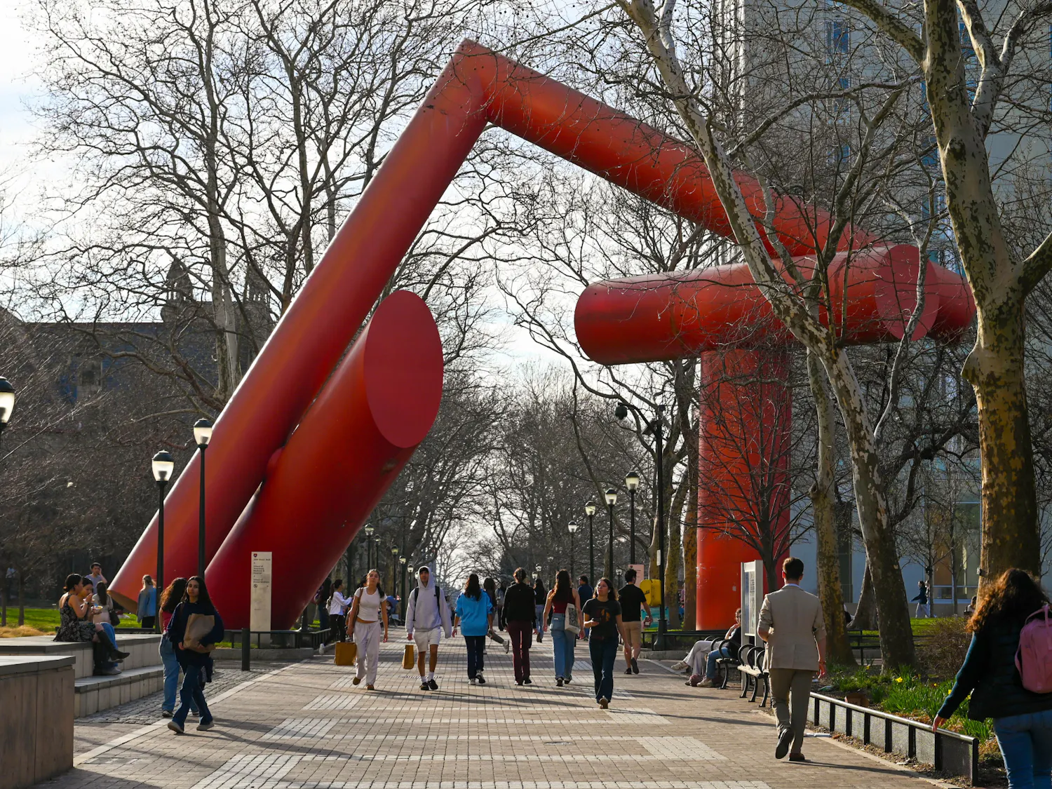
Philadelphia has seen temperatures of 70 degrees or warmer four days this month. Seven days of the month have been warmer than 60 degrees — and it’s only February.
These numbers are absolutely unheard of for this time of year. Although we never hit the all-time warmest temperature for Philadelphia, which is 79 degrees, the consistency of the extremely warm air caused many students to venture outside to enjoy the warmth this past weekend.
The past week was the first time since 2002 that temperatures in Philadelphia skyrocketed into the 70’s during the month of February. In fact, Philadelphia is on track to see the warmest February ever recorded with 20 out of the 26 days exceeding average daily high temperatures, as of today.
The reason for the sudden increase in mercury as well as the thunderstorms on Saturday lies with the positioning of our jet stream. Due to the climatology over the Western portion of the country and over the Pacific Ocean, the jet stream has shifted much farther north, leading to the influx of warmer air from the Southeastern United States. This “Southeast Ridge,” as it’s called, will continue to fluctuate over the next few days before the pattern relaxes. By the time Spring Break is over, we will likely see temperatures closer to average.
SEE MORE FROM ELYAS TECLE: