This past week has featured almost anything but winter weather. With high temperatures reaching the 50s and 60s, campus was buzzing with students finally having lunch outside. Squirrels were running rampant as the warmer weather signaled an entrance to spring ... or so we thought.
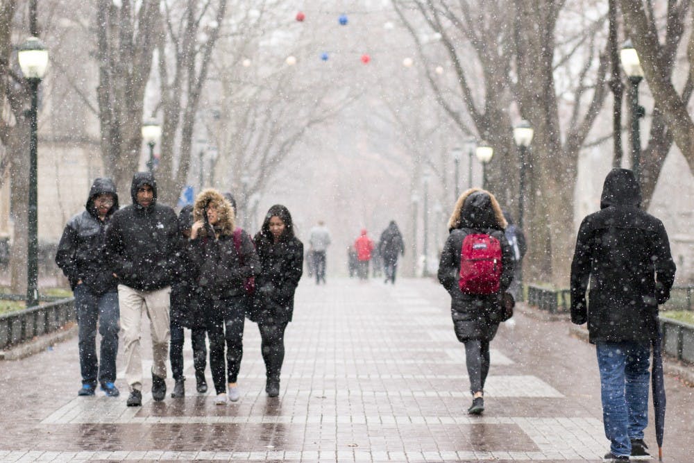
It looks as though winter is making one last gasp on Thursday night. Snow will move into the area just as most people will be headed to bed. A storm system that will track across the middle of the country will sink southward and come up the East Coast, but it will not come close enough to dump heavy precipitation on us.
Instead, it will graze our area with a couple of inches of snow come Friday morning. In this case, it looks like the highest snowfall will actually be towards the south rather than north and west of Philadelphia. A general one to two inches will be the norm anywhere from the coastal sections of New Jersey and Delaware to the Lehigh Valley with the highest chances of three inches accumulating being toward Delaware and South Jersey.
Most of these accumulations will be on grassy surfaces, but given that it is falling at night, it’s possible for roads to be coated as well come sunrise. So, expect a few flight and road delays on Friday morning.
For anyone traveling on Friday morning or early afternoon, I would not change any of your plans just yet unless things get much more serious in terms of snowfall, but there is a chance that travel operations slow down for a time in the morning. By the afternoon and evening hours, I expect the sun to do its work and actually melt some of the snow by day’s end.


