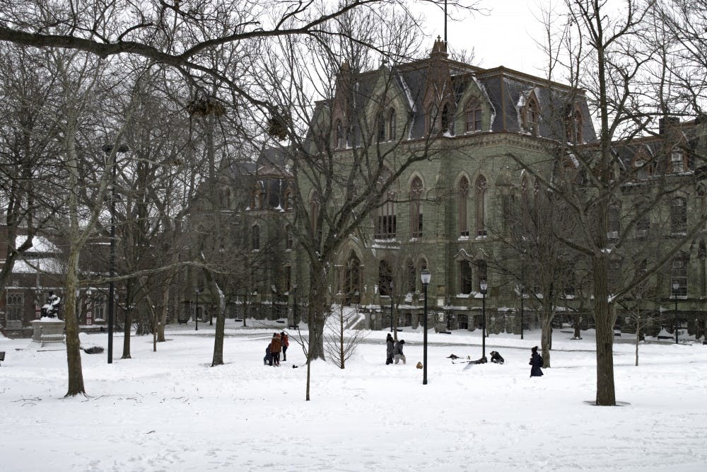
The National Weather Service expects 4-8" of snow by Wednesday morning.
Credit: Avalon MorellIt looks as though more snow is in the forecast for tonight through early Wednesday morning. Although this upcoming system will not be anything like the blizzard of 2016 a few weeks ago, it may still have an effect on travel. The type of system that we're dealing with is called an inverted trough. An inverted trough is essentially a weak disturbance in the atmosphere that can focus locally heavier bands of precipitation due to wind speed and direction.
Historically, they are known to set up between Philadelphia and Boston. In our case, this inverted trough is expected to set up somewhere in the Philadelphia region. For that reason, the National Weather Service has issued a Winter Storm Warning for Philadelphia county through 6 a.m. Wednesday morning for 4-8 inches of snow. However, with this system comes great uncertainty.
Inverted troughs are notoriously difficult to pinpoint because global models don't have the resolution to hone in on where these smaller bands of precipitation will set up. That is where real time observations come into play. Over the next 24 hours, many conditions in the atmosphere will coalesce to cause snowfall. The ability to differentiate from using models as a forecast versus guidance will be key to nailing down this tough forecast.
As of Monday night, I would go as far to say that we could see 5-8 inches. Inverted troughs are known for their intensity. Combined with the fact that temperature will be below freezing and most of the snow will be falling tomorrow night when the sun has set, the conditions call for a high chance of accumulating snow.

The Daily Pennsylvanian is an independent, student-run newspaper. Please consider making a donation to support the coverage that shapes the University. Your generosity ensures a future of strong journalism at Penn.
DonatePlease note All comments are eligible for publication in The Daily Pennsylvanian.


